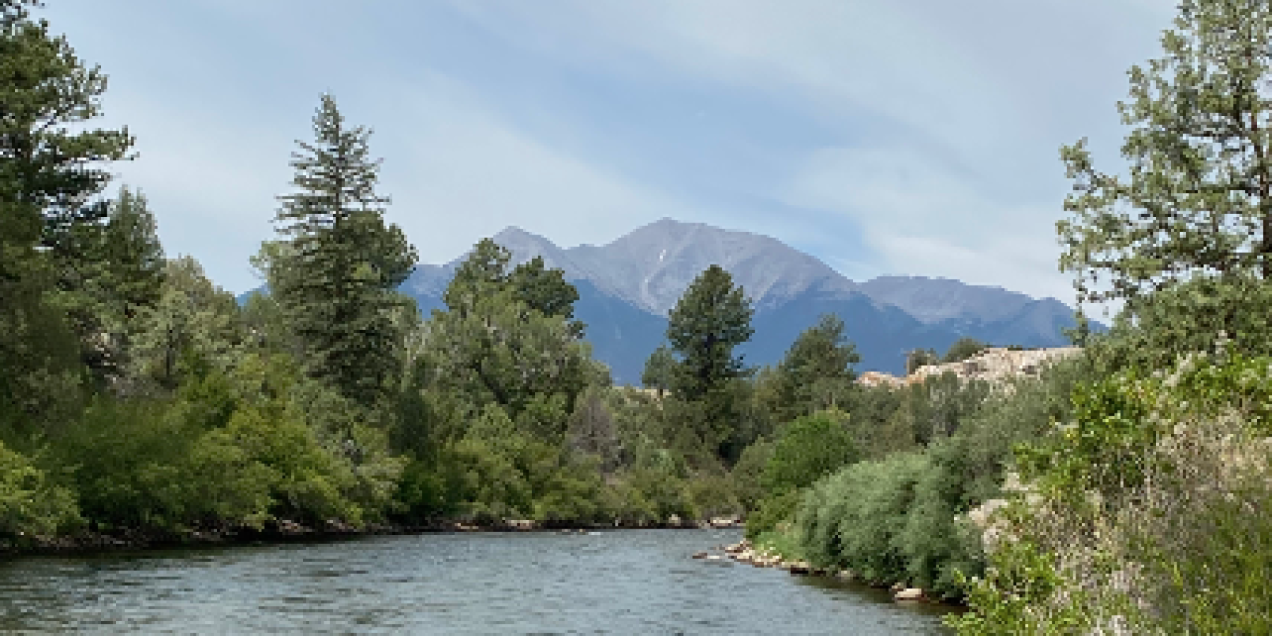
Changes in river discharge have been measured throughout the last century by the U.S. Geological Survey, with data recorded as far back as 1889. The USGS Streamgaging Network provides data related to river flow and chemical and physical parameters, in almost real time. Through the USGS database it is possible to observe long-term trends in discharge rates over a period of time when global population, the use of resources, and a myriad of environmental changes have accelerated. During this project I chose to focus on the Arkansas River and its tributaries. Focusing on the Fountain Creek watershed, and other areas along the Arkansas near Colorado Springs and Pueblo, helped us determine the impacts of large farming communities and cities such as Colorado Springs on discharge rates and the water quality of the river. Using data collected from the USGS Streamgaging Network we are able to observe areas with little human influence that will represent long-term temporal trends driven by external factors, as well as highly developed areas that may have both external and local factors that influence discharge.

