
Alexander K. Stewart, USA (ret)
Support
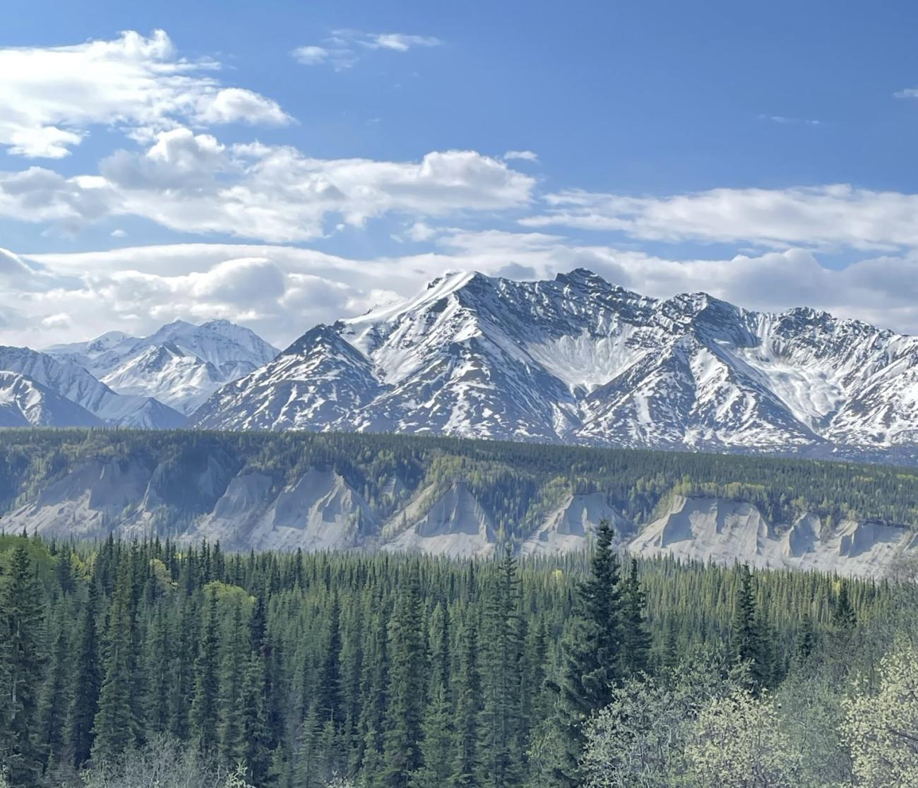
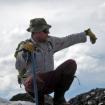
Alaska’s interior transportation corridors are susceptible to landslide events and are often burdened by excessive repair costs and prolonged repair time. The state requires a new model that can project long-term landscape stability given the constraints of a limited landslide inventory. Miandad et al. (2020) developed a remote sensing model using LiDAR and Normalized Difference Vegetation Index (NDVI) to identify slope stability. This research ground-truths an identified landslide area between the Trans-Alaskan pipeline and the Richardson Highway south of Glennallen, AK by sampling and coring black spruce (Picea Mariana) trees. The cores were dot-counted and analyzed for reaction wood to determine past instability. Two peaks of high reaction wood in the 1930's and 2000's indicates historical slope movement, however the prediction of future instability remains unclear and manipulation of LiDAR and NDVI parameters need to be thoughtfully incorporated.